Vegetation Mapping
- Published inAgriculture & Livestock
- Jun 23, 2024
- 1.48 Min
Vegetation mapping is a crucial tool in environmental science, ecology, and land management. It involves the systematic documentation of plant types, their distribution, and abundance across a specific area. By analyzing vegetation patterns, researchers, planners, and policymakers can make informed decisions about land use, conservation, and sustainable development.
One of the primary goals of vegetation mapping is to classify landscapes based on their plant composition. This helps identify areas of ecological significance, detect changes in vegetation over time, and monitor the impact of human activities or natural events, such as deforestation, urbanization, or climate change. With accurate vegetation maps, authorities can prioritize regions for conservation, restoration, or sustainable exploitation.
Techniques in Vegetation Mapping
Modern vegetation mapping combines field surveys with advanced technological methods. Traditional field surveys involve physically examining plant species, recording their types, density, and coverage. Although accurate, this method can be time-consuming and labor-intensive, especially over large areas.
Remote sensing technology has revolutionized vegetation mapping. Satellite imagery and aerial photography provide a broad view of vegetation patterns, while sensors capture information about plant health, moisture content, and canopy structure. Geographic Information Systems (GIS) are then used to process this data, creating detailed maps that can be easily analyzed and updated.
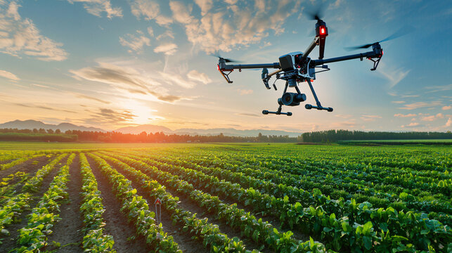
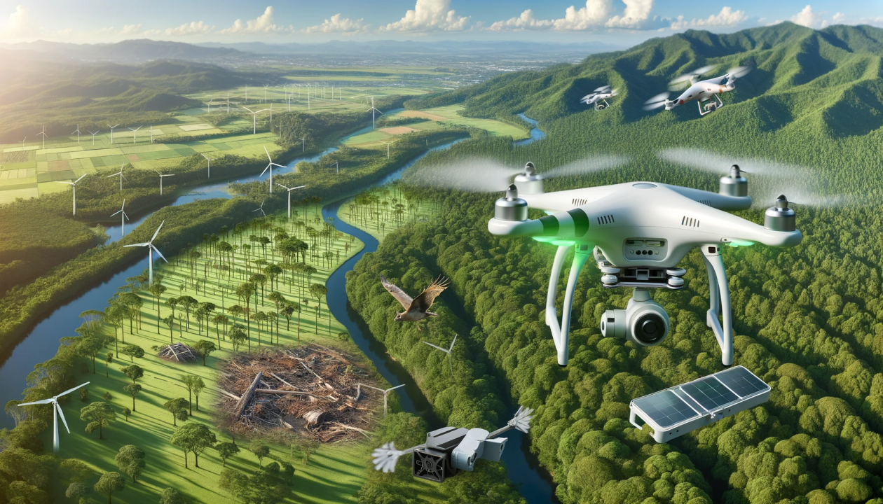
Drone technology has also gained popularity in vegetation mapping. Equipped with high-resolution cameras and sensors, drones offer a flexible and cost-effective solution to collect precise data from hard-to-reach areas. Combining drone surveys with GIS allows for real-time vegetation monitoring and better decision-making.
Applications of Vegetation Mapping
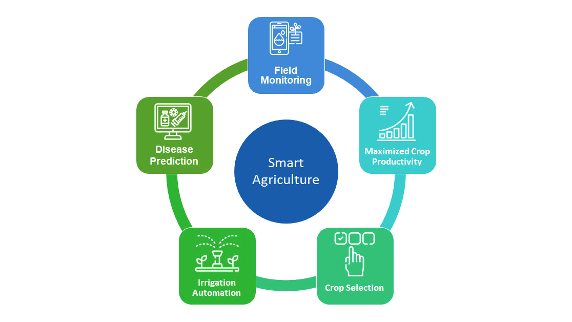
Vegetation mapping serves multiple purposes. In agriculture, it helps monitor crop health, detect pest infestations, and optimize irrigation strategies. For forestry, it aids in assessing forest cover, planning sustainable logging, and protecting endangered plant species. Environmental researchers use vegetation maps to study biodiversity, track invasive species, and understand ecosystem dynamics.
Urban planners also benefit from vegetation mapping by identifying green spaces, planning urban forests, and enhancing environmental quality. In the context of climate change, vegetation maps help monitor carbon sequestration and guide reforestation or afforestation projects.
Vegetation mapping is more than just documenting plant types—it is a powerful tool for sustainable land management, conservation, and environmental research. By integrating traditional field methods with advanced technologies like GIS, remote sensing, and drones, vegetation mapping provides accurate, up-to-date, and actionable insights. For countries like Bangladesh, where rapid urbanization and climate challenges are prevalent, effective vegetation mapping can play a significant role in ensuring ecological balance and sustainable development.
Related Industries



Topics