Subsurface Utility Mapping solution
- Published inOil & Gas
- Jun 27, 2024
- 2.1 Min
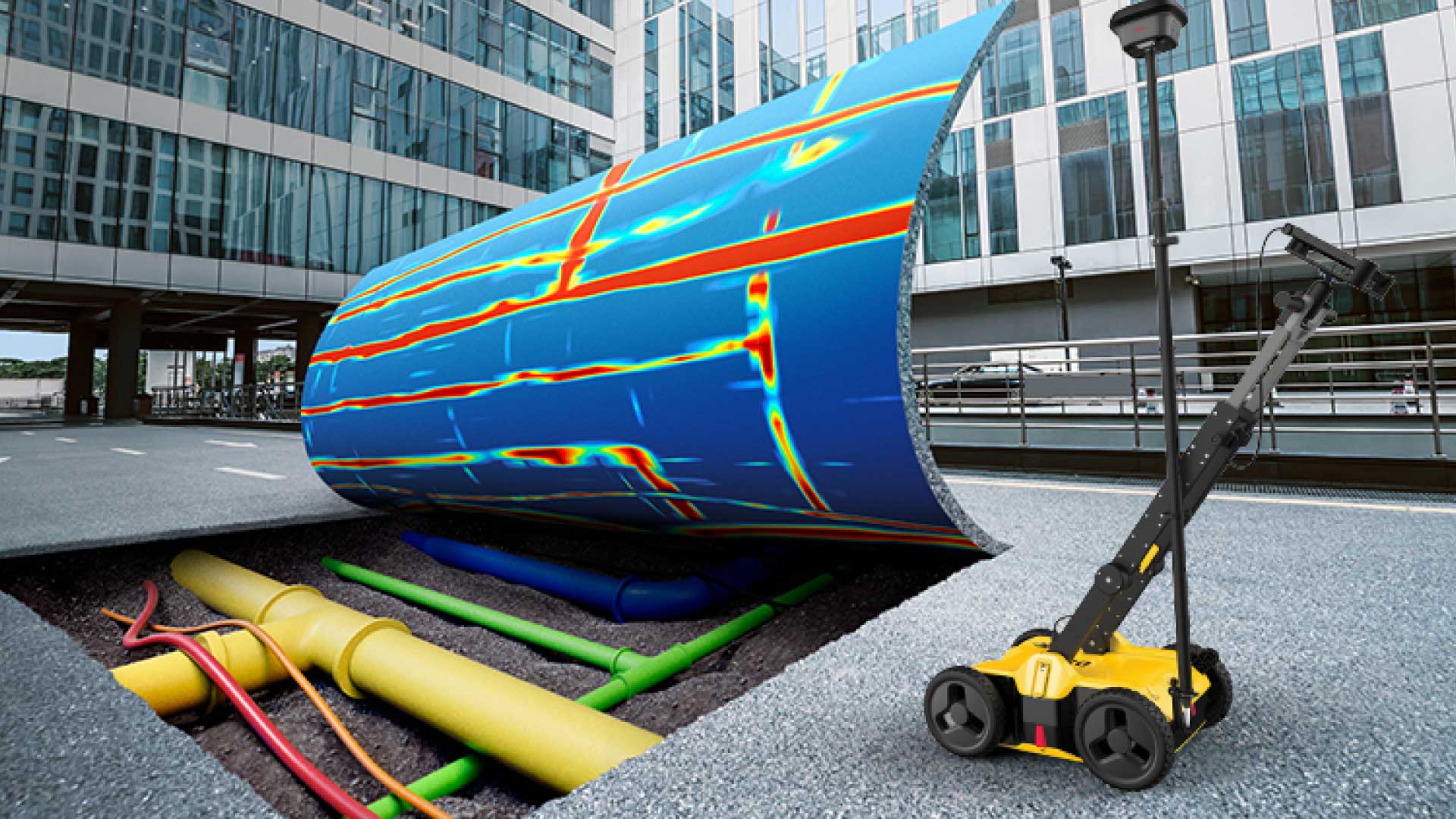
Subsurface utility mapping (SUM) solution in Bangladesh is rapidly becoming an essential part of modern infrastructure development. As urban areas expand and construction projects grow more complex, knowing the exact location of underground utilities—such as water pipes, gas lines, electrical cables, and telecommunication conduits—is crucial. Without accurate mapping, construction projects can face costly delays, safety hazards, and legal complications.
In Bangladesh, where urbanization is accelerating, traditional methods of utility detection often fall short. Relying solely on old maps or manual detection can result in inaccurate data, leading to potential damage to utilities and disrupting essential services. This is where advanced subsurface utility mapping solutions prove their value, offering precise, efficient, and reliable results.
How Subsurface Utility Mapping Works
Subsurface utility mapping uses advanced technologies like Ground Penetrating Radar (GPR), electromagnetic locators, and GPS-based data collection systems to identify and map underground utilities. The process begins with a thorough site survey, where engineers collect data on the location, depth, and condition of the utilities.
GPR technology, for example, emits radar pulses into the ground and measures the reflected signals from underground objects. This data is then analyzed to create a detailed map, showing the exact positions of pipes, cables, and other infrastructure elements. Electromagnetic locators complement this by detecting metallic utilities, providing another layer of accuracy.
The resulting utility maps are not only highly precise but also digitally integrated, allowing construction teams, municipal authorities, and utility companies to access the information easily. These maps can be used for planning, risk assessment, and monitoring purposes throughout the lifecycle of a project.
Benefits of Subsurface Utility Mapping Solutions
Adopting a subsurface utility mapping solution in Bangladesh offers several advantages for construction projects and urban planning initiatives:
-
Enhanced Safety: By identifying underground utilities before excavation, the risk of accidental strikes—such as hitting a gas line or electric cable—is minimized, protecting workers and the public.
-
Cost Efficiency: Preventing accidental utility damage avoids costly repairs, project delays, and potential legal disputes. Accurate mapping also streamlines construction planning, saving both time and resources.
-
Improved Project Planning: Detailed maps help engineers and architects design projects with better awareness of existing infrastructure, reducing conflicts during construction and allowing for more efficient use of space.
-
Regulatory Compliance: Many government bodies in Bangladesh now require detailed utility mapping before approving major construction projects. Using SUM solutions ensures compliance with local regulations and reduces the risk of fines or project stoppages.
-
Long-term Asset Management: Digital utility maps serve as a reliable reference for future maintenance and upgrades, making it easier to manage municipal services over time.
Applications of Subsurface Utility Mapping in Bangladesh
The applications of subsurface utility mapping solutions are diverse and growing in Bangladesh:
-
Urban Infrastructure Projects: Roads, bridges, and public transportation developments benefit from precise mapping, reducing delays caused by unforeseen utility conflicts.
-
Residential and Commercial Construction: Developers can avoid costly damage to underground utilities, ensuring smooth project execution.
-
Industrial Facilities: Large industrial sites with complex utility networks rely on SUM solutions to maintain operational efficiency and safety.
-
Environmental and Utility Maintenance: Water, gas, and electricity providers can monitor and maintain underground networks efficiently, preventing service interruptions.
As Bangladesh continues to experience rapid urbanization, the demand for accurate and reliable subsurface utility mapping will only increase. Forward-thinking construction firms and municipal authorities are now recognizing that investing in these solutions is not just a matter of compliance but a strategic move to ensure safety, efficiency, and long-term project success.
Related Industries
Gas Flow Validation & Calibration
Flow Meter Testing & Calibration Bench
PRV & Safety Valve Testing

Gas Leak Detection System
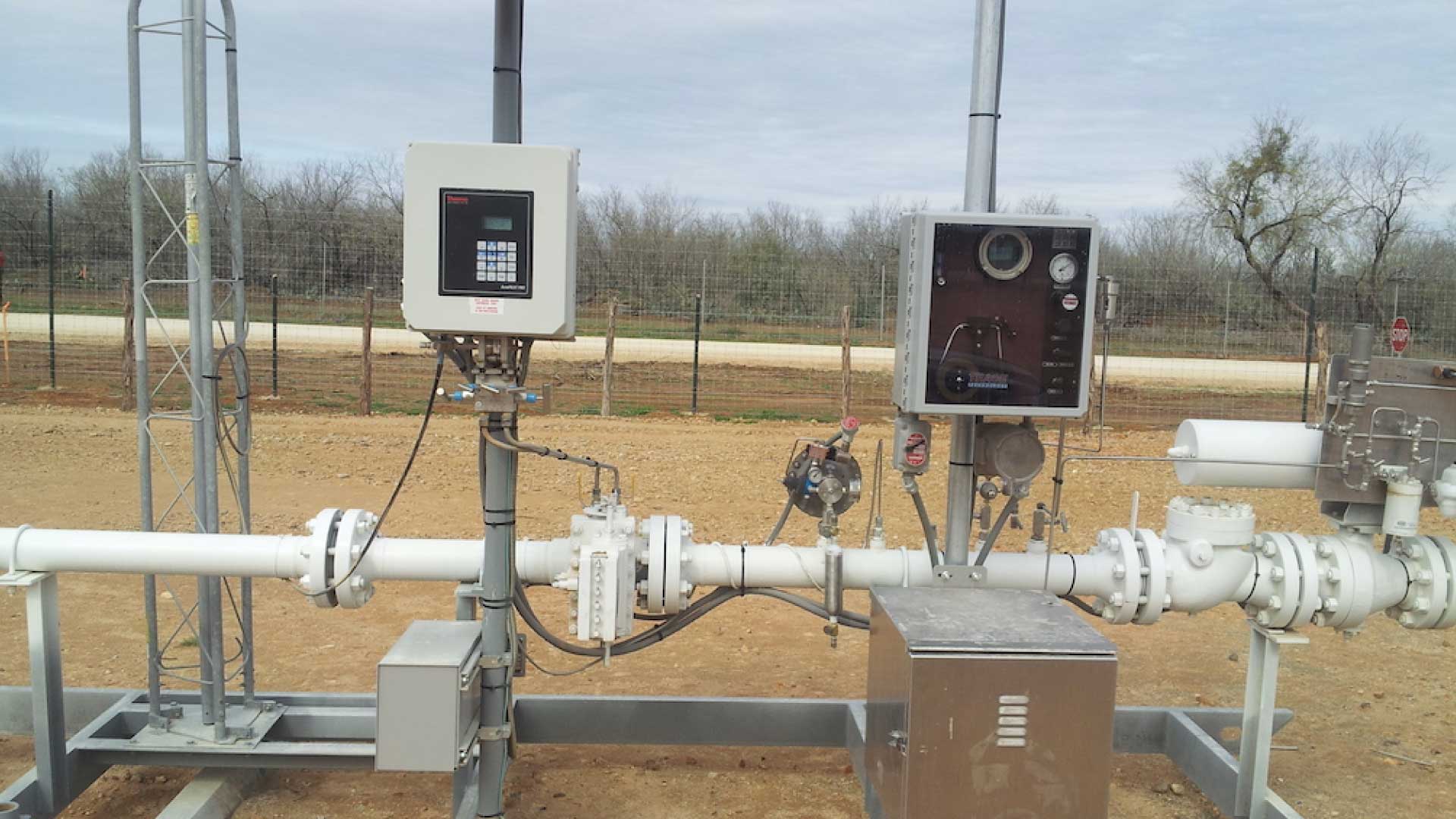
Automated Pipeline Monitoring System
Subsurface Utility Mapping solution
Topics